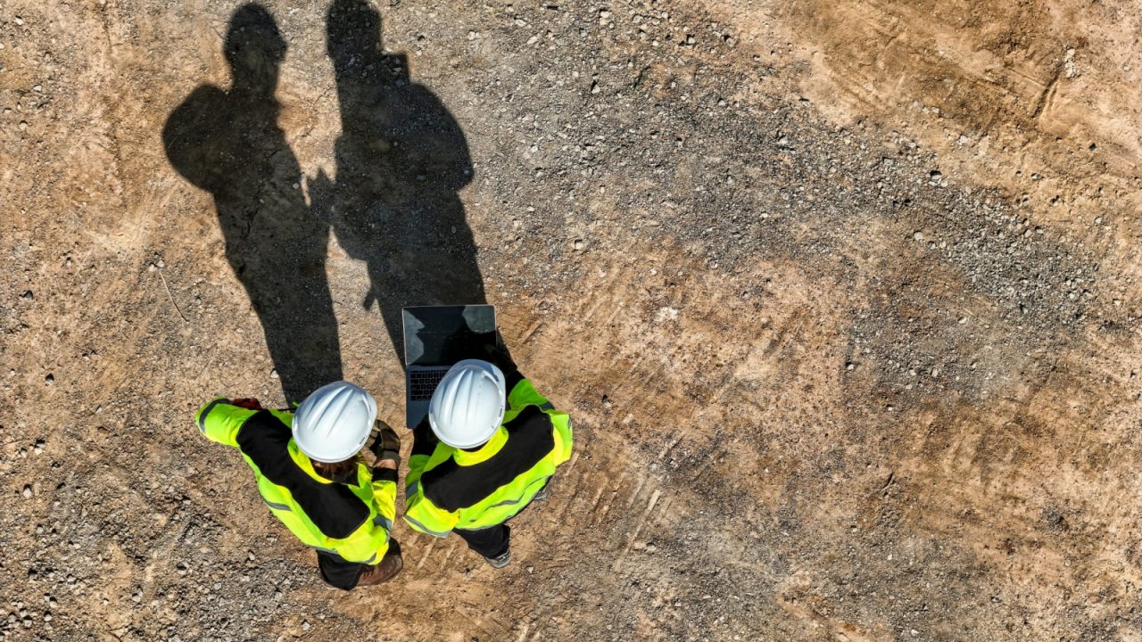
If you work on a complex construction project, you’re likely familiar with the challenges posed by unknown subsurface conditions. Some of the biggest obstacles are buried or overlooked underground structures such as utilities and storage tanks. What lies beneath the surface is arguably the most challenging aspect of the construction project and can be one of the leading causes of delay and cost overrun.
The most common geophysical exploratory process is a ground-penetrating radar (GPR) survey. GPR has strengths but also comes with limitations. That’s why architects, engineers and contractors should consider integrating a more innovative tool into their process that can greatly increase safety and reduce risk on any project: subsurface information modeling (SIM).
At its core, a SIM can assist all parties involved in complex construction to maximize profitability and limit change orders. The goal is to accurately locate, survey, map and model the underground space proactively so the entire design team—architects, engineers, contractors and owners—can better understand any issues that might arise well before construction even begins. It should be one of the first steps in the design process. However, it’s not always required in a project’s specifications.
The process behind SIM
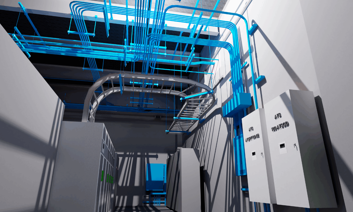
The SIM process begins with a subsurface utility engineering (SUE) scope and then is transformed through advanced geophysics and surveying until a final model is produced in Civil 3D, Revit or other modeling software. Additionally, 3D mobile laser scanning can be deployed to enhance the model and prepare it for building information modeling (BIM) integration.
Think of SIM as the process of creating digital replicas of below-ground structures like utilities, tanks, voids and bedrock. With utility locating and modeling, accuracy is essential. Reporting the results in an electronic format that can be available early in the design phase is crucial. I like to call SIM “underground” BIM, which completes the information modeling process and generates a total asset model of all the planned construction, both above and below ground.
Equipment upgrades
Accuracy and the ability to locate, designate and integrate buried structures into a sophisticated 3D model are largely attributed to advances in equipment and technology. Gone should be the days of sticking flags in the ground and waiting to see if a project will be derailed when construction happens to stumble on a conflict underground.
The geophysical tools and technology available today can reduce soft-digging excavations and provide a great look into the underground world. In addition to surveying below ground, similar tools can assess concrete voids and sinkhole locations, determine rock rippability, depth to bedrock and more. The technologies at the heart of these tools are based on acoustic, electric, electromagnetic and seismic principles. Underground studies with current-day equipment upgrades and technological advances can often surpass traditional GPR surveys and provide a much more precise, reliable view of the underground than ever before.
On the modeling end, software development has allowed for data to be stored in the cloud, then made easily accessible for all members of the design team, resulting in ease of viewing without your computer crashing.
Why SIM should be an industry mainstay
SIMs are continually popping up in the industry, and rightfully so. Shutdowns from utility strikes are costly, as are change orders and delays related to other unknown buried structures. Most importantly, construction risk is drastically reduced—architects can now foresee potential hazards and adjust designs as needed, while contractors can visualize and manage workflow to better meet a project’s schedule and budget.
Overall, if you’re interested in boosting your next construction project’s efficiency, profitability and safety, I strongly suggest integrating a subsurface information model early in the process.