This is the 10th article in the Precision Construction series, which explores the application of the Internet of Things to digitally transform the construction industry, ultimately with the objective to improve labor productivity, reduce costs and enhance safety. The series began with Exploring Digital Transformation for Construction, followed by Simplifying Complex IoT Solutions, United Rentals Drives Efficiency & Excellence with IoT, United Rentals Helps Customers Optimize Equipment Rental, Robotic Masonry, Mixed Reality for Construction: Applicability and Reality, Taking Environmental Monitoring to a New Level, Digital Transformation – Enabling New Business Models for Construction and Increase Construction Safety with Digital Transformation. Articles generally follow a five-layer framework, described in Simplifying Complex IoT Solutions, that makes it easier to understand digital transformation solutions. To learn more about the various technologies described in this series, visit PrecisionStory.com.
Of all the technologies available to the Digital Contractor, drones are enjoying popularity. This is partially true because drones have use cases in all phases of a building’s lifecycle from surveying a new jobsite to assisting in ongoing maintenance of older buildings. In addition, drones can enhance safety throughout a building’s lifecycle. There are five use cases that should contractors should be aware of.
Use Case #1: Worksite Survey—High Accuracy Topography
At the beginning of the construction lifecycle, flying a drone to collect imagery by performing 3D lidar scans and collecting highly accuracy elevation and topology data for a greenfield jobsite. One fundamental motivation for this type of work is to confirm that the existing topography actually matches what the contractor thinks it is.
A 500 Acre Utility Scale Solar Farm. One advantage of flying a drone versus the traditional approach of walking a ground-based surveyor is a large area can be scanned in a day versus requiring weeks to walk. This was the case for a contractor that needed to scan 500 acres at the start of a utility scale solar farm project. This contractor needed a very dense point cloud to provide the base data as the foundation for planning and design purposes.
Scanning Relatively Smaller Areas. Drones don’t only need to be used to survey massively large areas. As a relatively smaller example, an industrial contractor was building additional facilities such as tank farms for an oil and gas customer. In this case, he needed to scan multiple sub-50 acre sites.
A New Data Center in 25% wooded area. In addition, drones can be used to scan through forested areas. One contractor was in the early stages of building a new data center and needed a bare earth profile of the 200 acres of land which were 25% covered in forest. To perform this survey using traditional boots on the ground would have taken weeks to complete. In addition, the resulting survey would have contained perhaps a few hundred spot elevations depending on where the surveyor walked. Using drone technology, the entire survey was completed in one day. Lidar scanning was used which can penetrate vegetation, blanketing the entire surface and creating millions of data points.
Use Case #2: Construction Site Progress
Surveying can be extended throughout the lifecycle of a job to assess and record changes and progress at the jobsite over time, providing clear insights on what’s going on at a very detailed level. Visualization of the jobsite can be provided from unique angles not available to typical boots on the ground. Drones will typically be flown bi-weekly, weekly or monthly. These flights can be automated and tunable to meet the contractor’s specific needs.
Comparing Status for Two Different Dates. One basic use case is to provide a historical record of progress, enabling the project manager to compare job status between two different dates. As an example, a contractor headquartered in the Southeast was building facilities for an oil and gas customer. The total jobsite Another jobsite was hit by a particularly large storm. The drone footage helped the contractor understand quickly exactly where damage had occurred. Side-by-side before and after the storm comparisons also helped the contractor understand the extent of the damage.
Disaster Reconnaissance. Another jobsite was hit by a particularly large storm. The drone footage helped the contractor understand quickly exactly where damage had occurred. Side-by-side before and after the storm comparisons also helped the contractor understand the extent of the damage.
Job Oversight. Visuals of the jobsite also enable contractors to keep the multiple stakeholders, including the executive team and owners, better informed on job progress and status. This is especially helpful if the owner’s office is a few states away from where the actual work is being performed.
Evaluating Safety Issues. As another example, safety managers use the drone imagery to evaluate safety situations at the jobsite. For instance, at one jobsite there was a safety ticket issued that involved a crane; historical drone-derived data revealed the crane hadn’t been properly fastened. Of course, this opens up the door for the future use of artificial intelligence and machine learning technologies to be deployed to scan the imagery to proactively identify potential safety hazards before accident occurs.
Don’t Need BIM to Gain Value from Drone Derived Imagery. An important point to realize is that to gain value from the drone imagery does not always require integration with BIM. In fact, using drones can be a lightweight process, performed along side BIM or without BIM all together.
Use Case #3: Building and Root Cause Inspection
Inspecting buildings represents another major use case of drones, for instance checking the condition of roofs and sides for maintenance and meeting compliance requirements purposes. Put simply, buildings are big assets that property managers and owners want inspected.
Evaluating Recently Purchased Properties. One commercial real estate group flies drones to evaluate recently purchased properties. Previously, a manager had to spend the time and cost to physically fly to each location to do visual inspections. Through drone footage, the manager can now do these detailed inspections from the comfort of his own office. The imagery also provides additional views not easily captured through physical inspections. For example, drones are used to create panoramic 360-degree images, revealing detailed views of the surrounding environment. For this commercial group, these views help them to categorize the views for specific windows, such as if they look out over freeways or more desirable green forests.
Making Measurements.This commercial real estate group also uses the created 3D information to do measurements, such as measuring the height of bay doors and building rooftop areas.
Meeting OSHA Requirements. One large food and beverage company had an OSHA mandate to review the roofs for its over 100 facilities for safety risks. More specifically, if a roof work area fell within 15 feet of an edge or drop off, the company had to make sure safety rails were installed. The company then had to provide proof back to OSHA that the safety requirements had been met. To accomplish this, drones were flown instead of sending inspectors. Not only did the drone-derived 3D imagery provide the ability to inspect if proper railing existed, but the images were also provided to the contractors hired to install any missing railings for their planning purposes. Finally, drone imagery was used as proof back to OSHA that their facility roofs all had proper safety rails installed.
Replacing Dangerous Scaffolding. It is well known that operating on scaffolding is an extremely dangerous job. At one hospital, there were issues with ice building up around windows and then falling off, hitting people below who were entering or walking around the hospital. At another hospital, there were issues with leaking windows. In both cases, drones were flown to identify precisely where the ice was building up and leaks were occurring so corrective actions could be taken without requiring workers to use scaffolds unless completely necessary.
Removing Scaffolding to Reduce the Time and Cost of Maintenance. Drones can also help to reduce the time and costs for performing maintenance. At one large industrial facility, approximately $1.4 million was spent on scaffolding alone during each turnaround—the one to two times a year the plant was shut down to perform required and preventative maintenance. Now, instead of putting workers on scaffolds to perform inspections, drones are flown saving the company more than one million dollars versus using scaffolding. And although this cost savings easily justifies flying a drone, it’s important to note that there are additional use cases for the drone-derived data sets. As an example, this company now uses the drone imagery to keep a visual record of the state of the facility.
Use Case #4: Volumetric Measurements
Performing stockpile measurements of construction materials represents another major use case for drones, which provides great value especially to the inventory manager.
Inventory Management. A large manufacturer of cement keeps ready mix stored and stockpiled at 400 facilities located around the United States, each strategically located close to construction areas. Trucks are constantly arriving to take cement away, as raw materials in parallel arrive to make sure available supply meets demand. Without knowing exactly how much material is stockpiled, the manufacturer runs the risk of overbuying. On the other hand, if supply runs out, then the manufacturer incurs the additional cost and delay of sourcing material at the next closest and available facility. To reduce these risks, this manufacturer flies a drone monthly to gather volume information for all its stockpiles. Materials are also codified, so specific tonnage information is provided as well.
Improving Accuracy and Safety. A traditional method to derive volume measurements is to have a person climb stockpiles, taking measurements with a tape measure. Unfortunately, this older analog approach results in errors of 200% or more. Worse yet, liability and safety risks are introduced by having people walk around and on stockpiles.
Cut and Fill. Accurate estimation of an earthmoving project can be the difference between being a profitable and an unprofitable job. Overestimating the amount of material to move may result in a bid that is too high. Underestimating will result in more material moved than the contractor is paid for. Underestimate the cut versus fill and there is a risk of purchasing more material than needed. Overestimating the cut versus fill may result in paying someone to remove material that doesn’t exist. To reduce these risks, drones can be used for cut and fill in earthwork projects, bridging the gap between making volumetric measurements and doing topography surveys. Combined with photogrammetry, drone-derived images can be used to understand how much material exists, and, consequently, how much material needs to be removed or brought in.
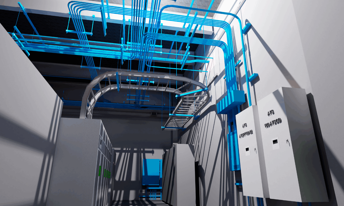
Use Case #5: 3D Modeling—Digital Twin
A digital twin provides the link between the real-world jobsite and its 3D digital representation that is continuously being updated with data derived from digital imagery and sensors.
Legacy Buildings—Replacing Tribal Knowledge. Buildings 10-20 or more years old will typically not have a documented system in place about the inner workings of the facilities and instead rely on tribal knowledge. But what does the facility manager do when the people with all this information decide to change jobs or retire? Flying a drone inside and out of a building can be used to easily create a detailed foundational digital twin of the building.
Create Data Sets as Input for Technologies like AR/VR. The digital twin also becomes the data used for other visualization-based technologies such as augmented reality and virtual reality. Although early in their use on the construction site, AR and VR have their own set of use cases in just the preconstruction phase alone, such as conducting design iterations, communicating designs to owners, visualizing the impact of design changes, discovering design and coordination clashes and mocking up virtual interior designs.
Improving Training and Safety. Training represents another major use case for virtual reality technologies, which can get their data sets from drone imagery. For instance, some sites have toxic chemicals or high points, which can make the conditions unsafe. One facility owner had cyanide tanks and needed to train workers on how to operate these tanks. Instead of sending new workers to these potentially dangerous locations for training purposes, the company used drone imagery and technologies such as virtual reality to simulate the environment.
Summary
Although use cases for flying drones exist to assist all phases of a building’s lifecycle, the price to buy and train a pilot to fly the drone can be too expensive to justify for all but the largest contractors. This is especially true if jobs are physically spread out, making it difficult to get company-employed pilot(s) to all locations.
Fortunately, drones are available as a service from companies that provide an end-to-end solution, including sourcing of pilots with just a few days notice, planning and conducting of the flights and all aspects of how best to utilize the resulting data. These service providers can help a contractor get started. They can also be relied on as trusted advisors to share their years of experience to help maximize the value derived from drone flying projects.