Yet again, we find America in a fluctuating housing market.
As demand for housing has soared in recent years despite increasing prices and interest rates, competition for buying and selling real estate has been fiercer than ever due to limited supply. In 2018, Freddie Mac estimated a housing shortage of 2.5 million units; in the ensuing two years, that shortage had expanded to 3.8 million units, reflecting an increase in housing stock deficit of approximately 52%.
Tight housing supply places a strain upon the homebuilding industry, which has dealt with issues like lack of available labor, land developers and land itself to develop—all exacerbated by the pandemic.
Although the market has boomed in recent years thanks to increased demand and lower supply, builders and sellers must be smarter than ever to capitalize on this trend. By leveraging insights from aerial imaging and location intelligence technology, these groups can smartly evaluate prospective properties, efficiently maintain existing assets and, ultimately, sell more effectively.
The homebuilding and real estate industries have much to gain thanks to advances in aerial imaging and location intelligence technology that allow people to visualize as if you were there in person.
AIDING THE PLANNING AND CONSTRUCTION PHASE
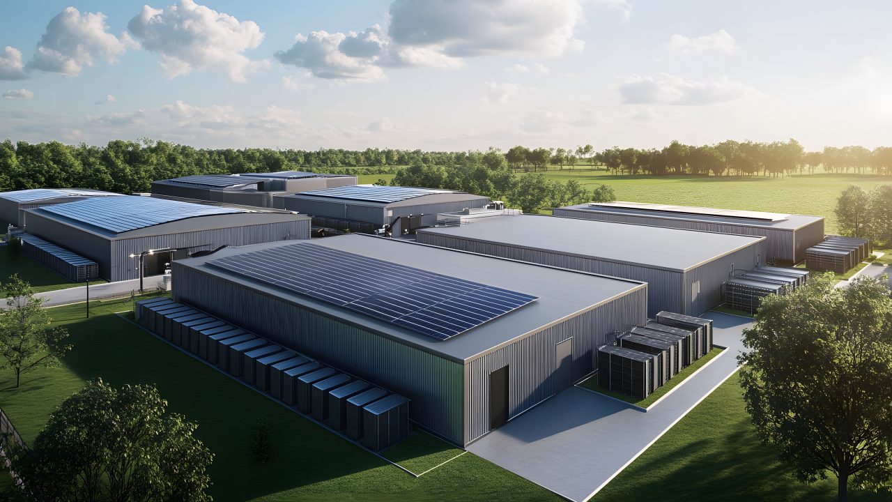
Aerial imagery technology is often thought of as photography from a bird’s eye view but is so much more than that. Companies like Nearmap offer crisp, high-resolution imagery that is captured over long periods of time and over large areas. Viewers can rotate or zoom in on large-scale maps—essentially, they can be right there without physically being on location.
You can imagine how these capabilities might help with housing construction. Throughout different phases of the building process, such as preplanning, site inspection and estimation, builders can leverage clear aerial imagery and maps to gather intel about their project without traveling onsite. Modern imagery is so precise that companies can confidently take height, pitch and length measurements to scale and include them in proposals as they determine the necessary labor and materials. In fact, these gathering measurements this way can help avoid errors that occur through traditional onsite measurement processes.
At any location in the country, construction companies can gather comprehensive property specs. Additional tools such as 3D modeling and AI-powered location insights allow builders to detect important details such as tree overhang, runoff areas, public utility components (such as manhole covers) and other environmental features (such as distance to a recent wildfire or source of coastal erosion, for example). Location intelligence technology can increase employee (and future resident) safety by helping assess whether calamities like wildfires, floods and sinkholes have affected the area.
Essentially, aerial imagery and location intelligence technology can provide builders with a consistently updated source of truth that saves time-consuming site visits and prepares a site for construction—while preventing costly mistakes from being made in real-time.
MAINTAINING IN-PROGRESS AND EXISTING ASSETS
Once construction has begun or been completed, project managers can continue tapping into insights from aerial imagery. For instance, they can compare past and recent data to detect important historical changes, as many aerial imaging and location data companies provide multiple data points per year—with some companies providing imagery that stretches back over a decade. These over-time comparisons can be a helpful confirmation of reports from boots on the ground—and can even limit onsite visits from project managers.
Likewise, aerial imagery can offer the same monitoring capabilities for owners of existing assets. With the historical component of aerial mapping and location intelligence, project managers can detect changes to the local area that affect property values, from new houses in the neighborhood, new amenities in the surrounding area (like newly constructed public transit stations, grocery stores, restaurants or gyms) and environmental changes. For example, users could view aerial imagery over time to determine whether land use in the local area, from waste dumping or improper construction techniques from other builders, has led to a negative environmental impact—and determine exactly when it all began.
HOW THIS HELPS YOU SELL
Some aerial imaging companies offer incredibly detailed and resolute imaging, with sub-3” ground sampling distance per pixel. Naturally, this type of clarity and detection of fine features translates easily to the showcasing of listings. Potential customers can see properties at their very best before they even schedule an open house with accurate aerial views that are more precise than free satellite imaging maps they might look up on their own.
Location intelligence technology can also power accurate, detailed measurements to important landmarks such as nearby schools, transit stations, grocery stores, hospitals and more—allowing potential buyers to learn about the neighborhood without having to drive around an unfamiliar area.
By leveraging historical data, sellers can showcase how seasonal differences affect the property and its surroundings. They can also track urban growth and point out high-growth areas—key findings for buyers, who all want their property value to increase over time.
And like with managers of existing assets, sellers can track developments (either to their property or the surrounding area) that affect valuation.
Modern aerial imaging and location intelligence technology offers high-powered insights across the home-building and selling lifecycle. By leveraging these insights, these groups can succeed in the current housing market.