Data and Technology Will Fuel the Megacities of the Future
What will cities look like by the year 2050? Will they be like those in South Korea centered on a digitally connected retrofit of existing society; will they parallel the shiny new cities of Dubai or Singapore; or could they possibly move underground or under the oceans?
Today, innovative cities such as Curitiba, Brazil, are rethinking entire mass transportation strategies while debating visions of autonomous cars and drones. The most basic infrastructure needs have always been about how people want to live and move around.
It’s also about how things move around. FedEx sees e-commerce increasing by 26 percent from 2016 to $2.4 trillion worldwide by 2018, which adds pressure to upgrade roads, highways and port/airport infrastructure for vehicle use—autonomous or otherwise.
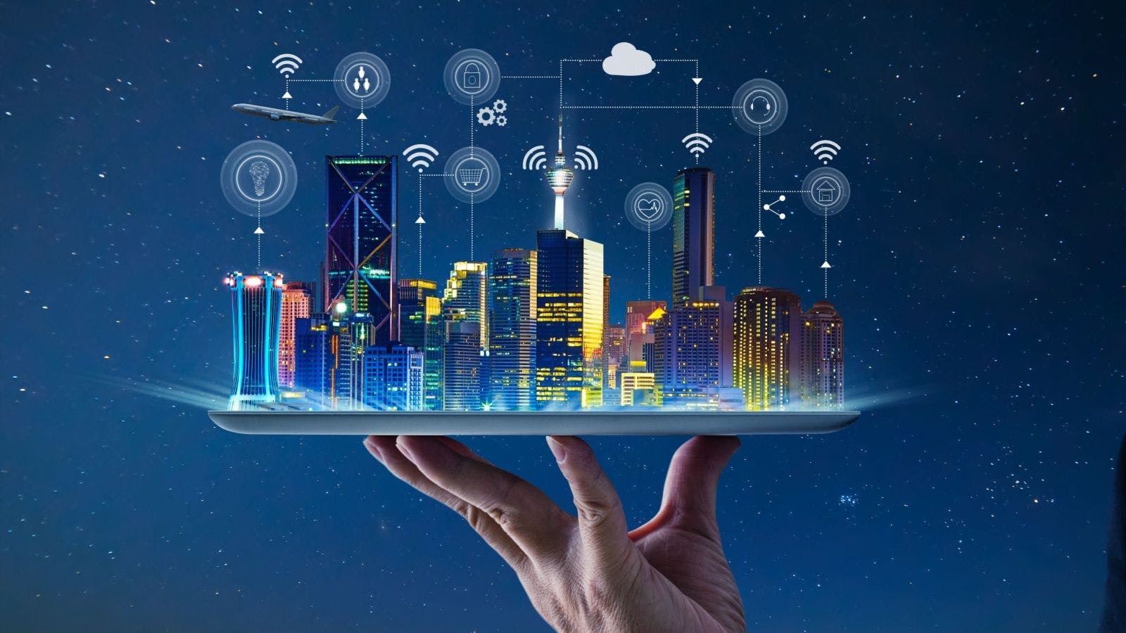
Add to this mix myriad technology disruptions such as sensors, big data, and the internet of things (IoT), which can help adjacent cities work together like cogs in a bigger machine.
But why is that important? Planners have been considering urbanization pressures, often in areas with little room to increase building or infrastructure capacity. One alternative is analyzing collected data to determine how to densify corridors of population between neighboring cities, with mass transit creating mega-regions that could easily become home to millions more.
The challenge for cities around the world is: How do they grow? How do they perform and transform simultaneously?
Data and the Megacities of the Future
Neighboring cities are coalescing in their shared infrastructure and mutual impact of their economies. Power lines, roads, transit, water systems and safety don’t stop at city limits, and municipalities are facing transformation at unprecedented rates. As a result, there’s a lot of debate about who decides the way forward and what that looks like.
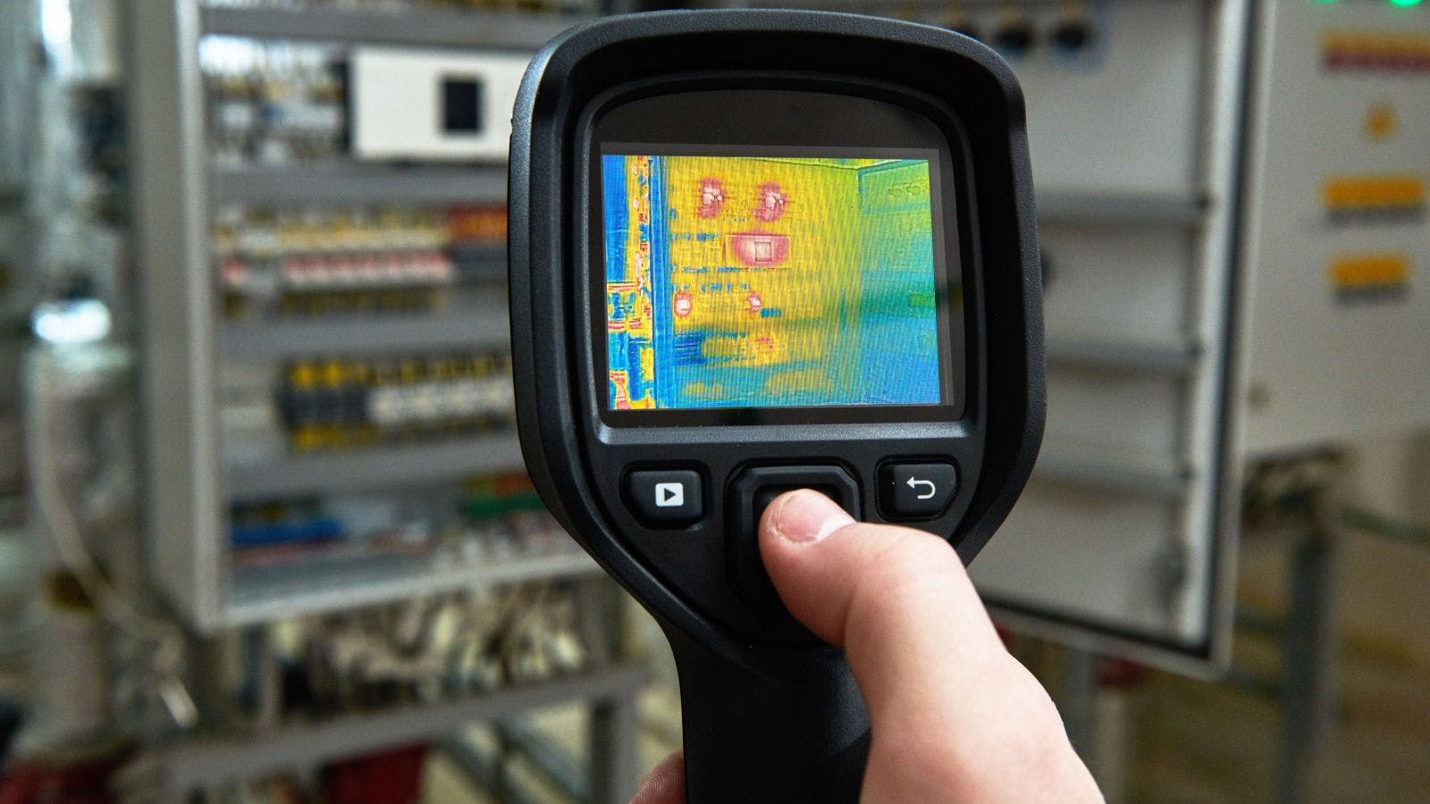
When it comes to designing infrastructure, one thing is for sure: Big data collected through the IoT will play a key role in growing the megacities of 2050. “Big data is all the information around us that is being collected in various streams,” says Steph Stoppenhagen, smart cities business development director for Black & Veatch. “If you use a metro card to get on a subway, then the system knows when you entered, where you went and the route you took. How is this helpful? By recognizing if the subway service worked. Was it successful? If so, you will do it again and again. That is one example of using data to watch people’s movements—creating smarter mobility.”
Not all data easily translates into useful or actionable information, though. To address the changing urban landscape, information itself should be seen as a form of infrastructure—one that can be used for better planning to connect cities within a bigger system.
The starting point is people, not technology. Planning, design, and investment decisions—along with supportive policymaking—can be informed and expedited via infrastructure visualization, simulation and analysis. The rise of big data and advanced modeling technology make it possible to plan and prioritize infrastructure investment with greater foresight, better communicate potential outcomes and yield measurably better results.
Creating smart cities means more than using the IoT to optimize services or communicate information to residents: It should be a construct used to frame local government decision-making around city transformation. While 2050 seems far off, for existing cities that must perform, transform and compete with brand new cities, it’s pretty close at hand. Cities need to evolve to develop sustainably; improve resilience; meet citizens’ rising expectations; and attract investment, new businesses and talent. The good news is that data and technology will make work and life better by creating a well-connected community.
But smart investment and policy decisions are crucial to planning, and moving to long-term investment (versus grant funding) is key. To achieve that, cities must make the following connections.
- Projects: Developments that build toward the unified city vision and meet broader economic objectives such as accessibility, jobs, affordable housing and healthy environments.
- Teams: Collaborative efforts functioning across all levels of government to unlock public and private infrastructure investment, leveraging big data to track the performance of infrastructure.
- Insights: New technologies that revolutionize how cities are planned, function and grow the economy by connecting everyone at the beginning of project planning.
- Outcomes: Projects that meet planning/business case measures and use cost-benefit analyses to meet economic objectives.
The Future of Planning Is 3-D
BIM gives meaning to the vast information available to architects and engineers, urban citizens and decision-makers. Advanced 3-D modeling allows people to analyze complex information, including risks and problems at a system-versus-asset level. What that means is thinking about what the whole infrastructure system is trying to accomplish versus goals of its individual components. That information helps architects and engineers enhance designs so individuals, firms and cities can meet their “smart” connected goals, bringing neighboring cities together.
Consistent use of 3-D in-context models coupled with simulation software can create a hypothetical, but realistic, scenario of the physical infrastructure’s performance. It establishes a concrete vision in 3-D, setting the context for discussing goals and performance measures that everyone can understand.
Technology lets people see with both eyes open—gaining perspective and depth—rather than with one eye closed, which gives perspective but no depth. The depth comes from information streaming through technology: Information-rich models can help stretch infrastructure investment dollars throughout the design and construction phases.
Going forward, using 2-D designs in an ever-changing 3-D world won’t work. Using 3-D BIM processes will be a critical skill set to build the right infrastructure for a megacities-of-the-future vision.
Creating Smart Foundations Together
Cities are often overwhelmed by big data and lack the ability to make the information actionable. A benefit of BIM is that it can manage connections among all the data useful for complex city design projects—from the micro to macro level.
Through an immersive collaboration, the general public will better understand the future of infrastructure design. This way of stepping into, around and through infrastructure virtually is becoming the norm. It aids in faster design-concept creation, vetting and approval, and it reduces stakeholder pushback.
In this era of connected BIM—where information forms the infrastructure for planning, designing and maintaining manmade and natural systems—the objective is to create integrated and resilient infrastructure. Then, cities will be able to withstand and recover more quickly from natural and human-caused disasters—and grow to support their future.
By collecting and analyzing more information, civil engineers will better predict what’s needed to manage bridges, roads and other infrastructure assets, prolonging their life cycles. As populations increase and demand for infrastructure rises, future-proofing assets must take into account true life cycle costs.
Smart infrastructure connections at a personal, community, metropolitan or even national level—underpinned by technology—provide the capability for monitoring and measuring. Then the analysis of data feedback can yield positive steps to address issues (whether through human or machine actions).
This changes the vision of cities and provides the foundation for more holistic planning. In connected 2050 cities, all kinds of infrastructure—energy, water, transportation, buildings and governance—will “talk” to each other to prioritize needs, optimize performance, minimize energy use, and make life more enjoyable and productive for the people who live in and travel between cities.
This article originally appeared on Redshift, a site dedicated to inspiring designers, engineers, builders and makers.


Related stories